Introduction to Pintu Zhai
Maps are the second language of geography, and are immortal as a cultural tool. We have collected and displayed here part of the atlas since the birth of the People's Republic of China. Here also exhibits the manuscripts, documents and archives that academician Chen Shupeng personally participated in, designed and studied. From these scattered pieces of drawings, we are able to experience the development of map science and technology, and in particular, the great progress of science and technology in China in the 20th century.
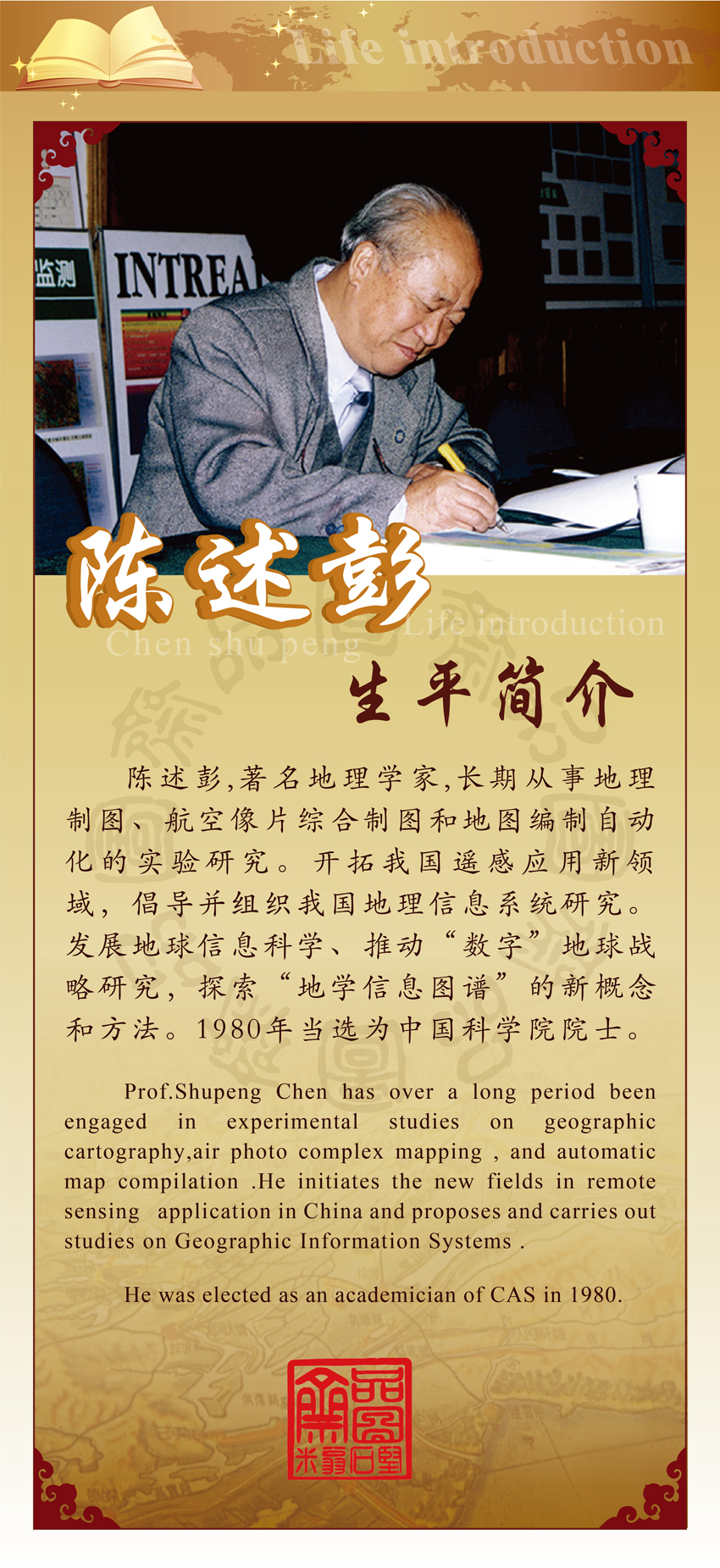
Prof. Shupeng Chen has over a long period been engaged in experimental studies on geographic cartography, air photo complex mapping, and automatic map compilation. He initiates the new fields in remote sensing application in China and proposes and carries out studies on geographic Information Systems.
He was elected as an academician of CAS in 1980.
