Associate Research Professors
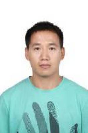
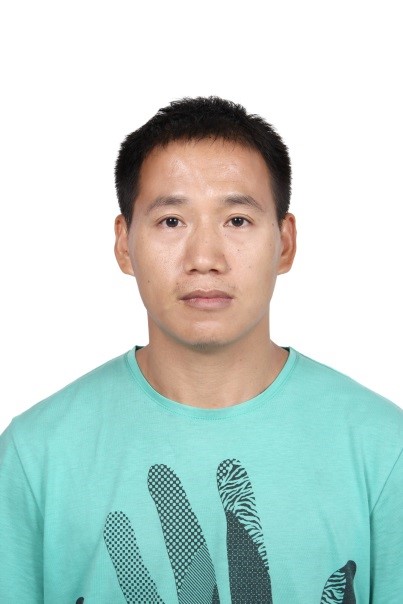
Gao Xizhang
Source: | Date:2016-10-10 | 【Print】 【Close】
GAO,XiZhang, Associate Professo, State Key Laboratory of Resources & Environmental Information System
Institute of Geographic Science and Natural Resources Research
Chinese Academy of Sciences
A11, Datun Road, Beijing 100101, PRC
Telephone: +86 1013717850003
Fax: +86 10 64889630
E_mail: gaoxz@Lreis.ac.cn
PERSONAL DATA & CAREER
Date of Birth: Dec 20, 1975
Areas of Specialization: GISci/Envirmental GIS Application
Education
2004 Ph.D. Geographic Information Science, ZheJiang University, HangZhou, ZheJiang, PRC
1999 B.A. Computer Science, HeNan Xinyang Normal University, XinYang, HeNan, PRC
Academic Positions
2016 – present: Associate Professor, State Key Laboratory of Resources & Environmental Information System, Institute of Geographic Science and Resources, Chinese Academy of Sciences, Beijing, PRC
2012-2016: Assistant Professor, State Key Laboratory of Resources and Environmental Information System, Institute of Geography, Chinese Academy of Sciences, Beijing, PRC
2008-2012: Post Doctor, State Key Laboratory of Resources and Environmental Information System, Institute of Geography, Chinese Academy of Sciences, Beijing, PRC
2004-2008: Department Manager, Beijing Northern Digital Intelligence Systems Technology Co, Ltd, BeiJing,PRC
RESEARCH GRANTS
[1] Soil Survey and Pollution Control in China, Ministry of Ecology and Environment,2008-2011, CNY5,000,000
[2] Research of Operational System of Remote Sensing Information Application in the North and South Polar Environment, National High Tech Program (863),2009-2013,CNY1,500,000
[3] Global Massive Spatial Data Integrated Management and Service System,National High Tech Program (863), Subproject,2012-2014,CNY450,000
[4] The Research on Multi_Level Complex Spatial Data Model and the Consistency, Nature Science Foundation of China, No: 41571391,2015-2019,CNY870,000
[5] Optimization of Evaluation Index System of Ecological Environment Quality and Development of Business Software in National Key Ecological Functional Counties, Ministry of Ecology and Environment, 2011-2020, CNY5,100,000
[6] Research on High Resolution environmental foundation monitoring database and management system,Ministry of Ecology and Environment, 2014-2015, CNY550,000
[7] Research on Evaluation Software System for Ecological Environment Quality of Key Ecological Functional counties for 11 provinces, Ministry of Ecology and Environment,2012-2019, CNY6,000,000
PUBLICATIONS OF BOOKS
[1] Leng shuying,Gao xizhang,He caifei,Pei tao etc.The Geographical Sciences During 1986-2015.Springer, 2016(English).
[2] Leng shuying,Gao xizhang,He caifei,Pei tao etc.. The Geographical Sciences During 1986-2015. The Commercial Press, 2016(Chinese).
[3] Song changing, Gao xizhang etc, Research progress in Some Frontier Fields of Soil Science, The Commercial Press, 2016(Chinese).
[4 Wang Shuan,Duan yingying,Gao xizhang etc. Python Practice of ArcGIS Geographic Processing [M]. China Environmental Science Press, 2015(Chinese).
Publications in Journals:
[1] Gao xizhang, Fan wenjie,Leng shuying*, Young Scientist Fund of the National Natural Science Foundation of China in geography [J], Progress in Geography, 2018(Chinese).
[2] Gao xizhang, Leng shuying *, The research status of Chinese geography studying on ASEAN countries[J], World Regional Studies, 2018(Chinese).
[3] Fan wenjie, Gao xizhang, Leng shuying *. Innovation and integration of geographic research promoted by the Young Scientist Fund of the National Natural Science Foundation of China [J]. Progress in Geography, 2018(Chinese).
[4] Zhou yuke,Gao xizhang *, Analyzing Regional Inequality of Socioeconomic Development in China with Nighttime Light [J],Remote Sensing Technology and Application,2017(Chinese).
[5] Xinwu Li, Xizhang Gao*, Jingkai Wang, and Huadong Guo. Microwave soil moisture dynamics and response to climate change in Central Asia and Xinjiang Province, China, over the last 30 years[J].2015, JOURNAL OF APPLIED REMOTE SENSING(English).
[6] Lei Liang,Xinwu Li,Xizhang Gao*, and Huadong Guo. Multibaseline polarimetric synthetic aperture radar tomography of forested areas using wavelet-based distribution compressive sensing[J].2015, JOURNAL OF APPLIED REMOTE SENSING(English).
[7] GAO xizhang, LIU HaiJiang, LI Baolin and YUAN Yuecheng, A New Method to Detect False Change Polygons in Land Use/Cover Change Map Based on Symmetric Theory Model [J]. Journal of Geo-Information Science, 2014(Chinese).
[8] Liu haijiang, Gao xizhang* etc, The Development and Application of Information System Used for County-Level Eco-Environmental Quality Valuation of the National Key Ecological Function Protection Areas[J], Environmental Protection,2014(Chinese).
[9] XiZhang Gao,Tao Zhang. Three dimensional visualization analysis for marine field data based on 3D-GIS [J]. 2009,Proc. of SPIE Vol. 7840 784018-4.
[10] GAO XiZhang, FENG HangJian, LI Wei, Study of 3D Visualization of Marine Measured Data Based on GIS, Journal of System Simulation, 2011(Chinese).
[11] FENG HangJian,GAO XiZhang*, Multi-dimensional and dynamic representation on marine measured data in China’s Coastal Zone and Offshore [J], ournal of Zhejiang University(Science Edition), 2010(Chinese).
[12] GAO XiZhang, FENG HangJian . Spatio-temporal Database of Geo-hazards Based on TGIS, Geological Science and Technology Information, 2010(Chinese).
[13] LiuJian,GAO XiZhang*,Zhu jiangang, DESIGN AND IMPLEMENTION OF POLAR INFORMATION SYSTEM BASED ARCGIS SERVER PLATFORM [J]. Chinese Journal of Polar Research, 2011(Chinese).
[14]Li qing, GAO XiZhang*, Yang xiaomei. Optimal Segmentation Scale Selection and Evaluation for Multi-layer Image Recognition and Classification [J], Journal of Geo-Information Science, 2011(Chinese).
[15] GAO XiZhang, Liu Nan etc. Study on flood control dike planning supported by GIS[J]. Water Resources and Hydropower Engineering, 2003(Chinese).
[16] GAO XiZhang, Liu Renyi, Liu Nan, City and county’s flood prevention information system based on GIS, Journal of Natural Disasters. 2003(Chinese).
Software copyrights
[2] Application analysis system of ecological environment quality assessment in key ecological functional areas of China
[3] Data filling system of ecological environment quality assessment in key national ecological functional counties
[4] Provincial examination and approval system of ecological environment quality assessment data in key national ecological functional counties
[5] Application business system of environmental remote sensing information in North and South Pole–Data Management System
[6] Application business system of environmental remote sensing information in North and South Pole-Data Sharing System
[7] Data management and analysis system for soil’s heavy metals rapid detection
[8] Software of remote sensing interpretation aid for land use
[9] Comprehensive analysis and evaluation system of pregnancy insurance for major natural disasters
[10] Ocean station management information system
[11] Assessment information system of county ecological environment quality in Yunnan Province
[12] Cartographic evaluation system of ecological environment in Qinghai Province
[13] Assessment information system of county ecological environment quality in Gansu Province
[14] Ecological assessment and release system of Qinghai Province
Patents
[1] A Method to Detect False Change Polygons In Land Use/Cover Change Map Based on Symmetric Theory Model, ZL 2013 1 0494923.2
Reviewer for Journals and Publishers (English)
[1] Remote Sencing
[2] International Journal of Geo-Information
[3] International Journal of Environmental Research and Public Health
Prize
[1] Science and Technology Progress Award of Ministry of Ecology and Environment, Second Prize, Research and application of performance evaluation technology of County Ecological Protection in key national ecological functional areas
[2] Advanced individual of Ministry of Ecology and Environment(2013)